Trails Illustrated Okefenokee National Wildlife Refuge Map
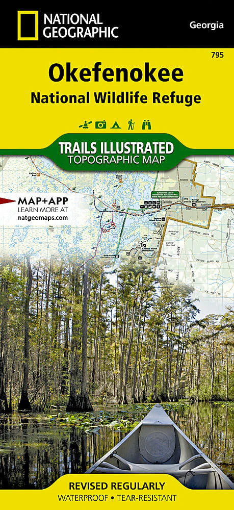
Covering 630 square miles in southeast Georgia, the Okefenokee National Wildlife Refuge encompasses nearly all of the world-renowned Okefenokee Swamp. Expertly researched and created in partnership with local land management agencies, National Geographic's Trails Illustrated map of Okefenokee National Wildlife Refuge provides an unparalleled tool for exploring this magnificent wetland. This map offers unmatched detail of the entire park and features key areas of interest including Stephen C. Foster State Park; Suwannee River Sill Recreation Area; Okefenokee Swamp Park; Kingfisher Landing; and Laura S. Walker State Park.
Product Information
Product Information
Shipping & Returns
Shipping & Returns
Description
Covering 630 square miles in southeast Georgia, the Okefenokee National Wildlife Refuge encompasses nearly all of the world-renowned Okefenokee Swamp. Expertly researched and created in partnership with local land management agencies, National Geographic's Trails Illustrated map of Okefenokee National Wildlife Refuge provides an unparalleled tool for exploring this magnificent wetland. This map offers unmatched detail of the entire park and features key areas of interest including Stephen C. Foster State Park; Suwannee River Sill Recreation Area; Okefenokee Swamp Park; Kingfisher Landing; and Laura S. Walker State Park.