Trails Illustrated South Holston and Watauga Lakes Map
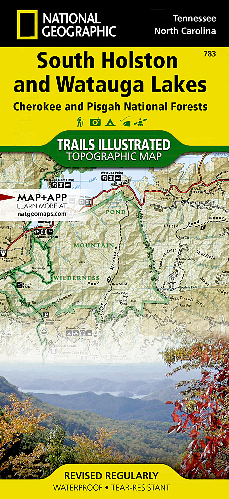
National Geographic's Trails Illustrated map of South Holston and Watauga Lakes is an essential travel companion for all outdoor enthusiasts seeking recreational opportunities in the mountains of eastern Tennessee. Expertly researched and created in partnership with the U.S. Forest Service, Appalachian Trail Conference and others, the map provides unparalleled detail of the area, from the northeastern corner of Tennessee to...
Original: $14.95
-65%$14.95
$5.23Product Information
Product Information
Shipping & Returns
Shipping & Returns
Description
National Geographic's Trails Illustrated map of South Holston and Watauga Lakes is an essential travel companion for all outdoor enthusiasts seeking recreational opportunities in the mountains of eastern Tennessee. Expertly researched and created in partnership with the U.S. Forest Service, Appalachian Trail Conference and others, the map provides unparalleled detail of the area, from the northeastern corner of Tennessee to...