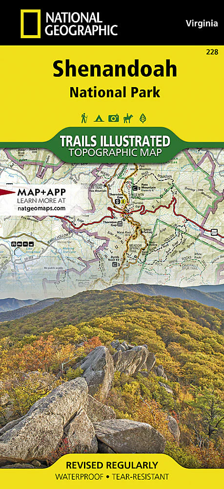
Trails Illustrated Shenandoah National Park Map
Expertly researched and created in partnership with local land management agencies, National Geographic's Trails Illustrated map of Shenandoah National Park provides an unparalleled tool for exploring this beautiful park. Particular attention is shown to camping, hiking, fishing, ranger programs, and horse use in the park; and a handy chart of waterfalls provides height, location, hiking distance, and elevation gain for hikers. The print map includes insets of Loft Mountain, Mathews Arm-Elkwallow, Skyland, and Big Meadows.
Original: $14.95
-65%$14.95
$5.23Product Information
Product Information
Shipping & Returns
Shipping & Returns
Description
Expertly researched and created in partnership with local land management agencies, National Geographic's Trails Illustrated map of Shenandoah National Park provides an unparalleled tool for exploring this beautiful park. Particular attention is shown to camping, hiking, fishing, ranger programs, and horse use in the park; and a handy chart of waterfalls provides height, location, hiking distance, and elevation gain for hikers. The print map includes insets of Loft Mountain, Mathews Arm-Elkwallow, Skyland, and Big Meadows.